AECOM developed solutions for the AI extraction of previously unusable image data to augment historic flood modelling, helping understand the environmental management needs of the future. These twin projects won technology awards and were featured in The Times.
Project Summary
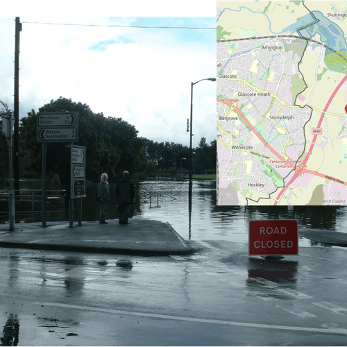
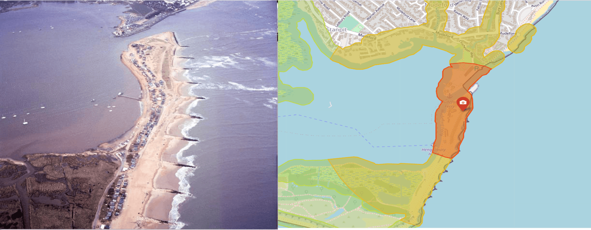
During flood events, many images are taken from both the ground and the air. Historically, these images were taken by Environment Agency (EA) staff from near the event, captured as evidence of the flood extents and levels, and to direct emergency response teams if necessary. More recently, images have been captured from a chartered plane to observe and record the overall flood boundaries. In all cases, there is a tremendous amount of value in the information of these images which can be used to train flood prediction models and protect life and property in future emergencies. Two Artificial Intelligence (AI) proof-of-concept projects sought to unlock this value: Automatically locating from where an image of flooding was taken, where that image contains no GPS metadata; and automatically detecting and mapping flood boundaries from oblique aerial images.
Key Features
- Modular AI algorithm, including the use of:
- Object and landmark detection
- Optical character recognition (OCR)
- Natural language processing and named entity recognition
- K-means clustering
- Bayesian optimisation
- Image processing
- Geographic data transformation and geocoding
- Mapping and georeferenced visualisation

Solution
To identify from where an image was taken, AECOM developed a modular approach, bringing the best performing AI technologies together. The result was a solution capable of directly locating 15% of images and closely locating 50%. What's more, a mapping output narrowed down the search area by approximately 90% for those that could not be located directly by the overall process. AECOM developed an algorithm to project an image to a map - while many positional parameters are unknown or unreliable - Bayesian Optimisation was used to match key landmarks of an image to a map underneath. While another was developed to identify pixels in images that were part of the flood event. The combination of these two techniques delivered a shapefile presenting the flood extent.
Added Value
Both solutions were designed to reduce manual investigative work, allowing Engineers more time for analysis, insight, and to work on creative solutions to the challenges of flooding. Designing the AI algorithms to work alongside experts meant that all parties considered the proof-of-concept systems as exciting and helpful. It was estimated each solution could reduce manual work by 70-90%.
Feedback
EA provided positive feedback to the research and development in both projects. What stood out was how AECOM and EA worked together to introduce this new technology into the subject area and, now that these initial projects are completed, the understanding of just how much can be achieved and what else can be done. The team working on these projects won the NCE Techfest 2022 Award: Best use of Technology: Artificial Intelligence for their success, with the feedback ‘Judges were impressed with the approach at targeting the innovation to create added value from existing sources rather than building a costly proprietary system. The approach could be adapted for other assets and infrastructure systems. The combination of targeted use of AI to solve real world problems, scalability and practical, innovative approach made it a winner.’