Eye in the sky: transforming mobility with drones and AI

As part of a broader exploration into the transformative impact of AI in infrastructure planning and management, we examine how advanced technologies such as drones are revolutionizing traffic surveys and data collection. This sets the stage for future discussions on AI-driven advancements in urban development and the evolving low-altitude economy.
Urban areas face mounting challenges in traffic management, including congestion, safety concerns and infrastructure pressures. Traditional traffic surveillance methods are labor-intensive and often produce incomplete data.
As cities grow, the demand for faster, safer and more efficient traffic data collection is critical. Drones integrated with artificial intelligence (AI) present a groundbreaking solution, offering significant advantages and enabling smarter urban mobility.
The challenge: inefficient and unsafe traffic surveys
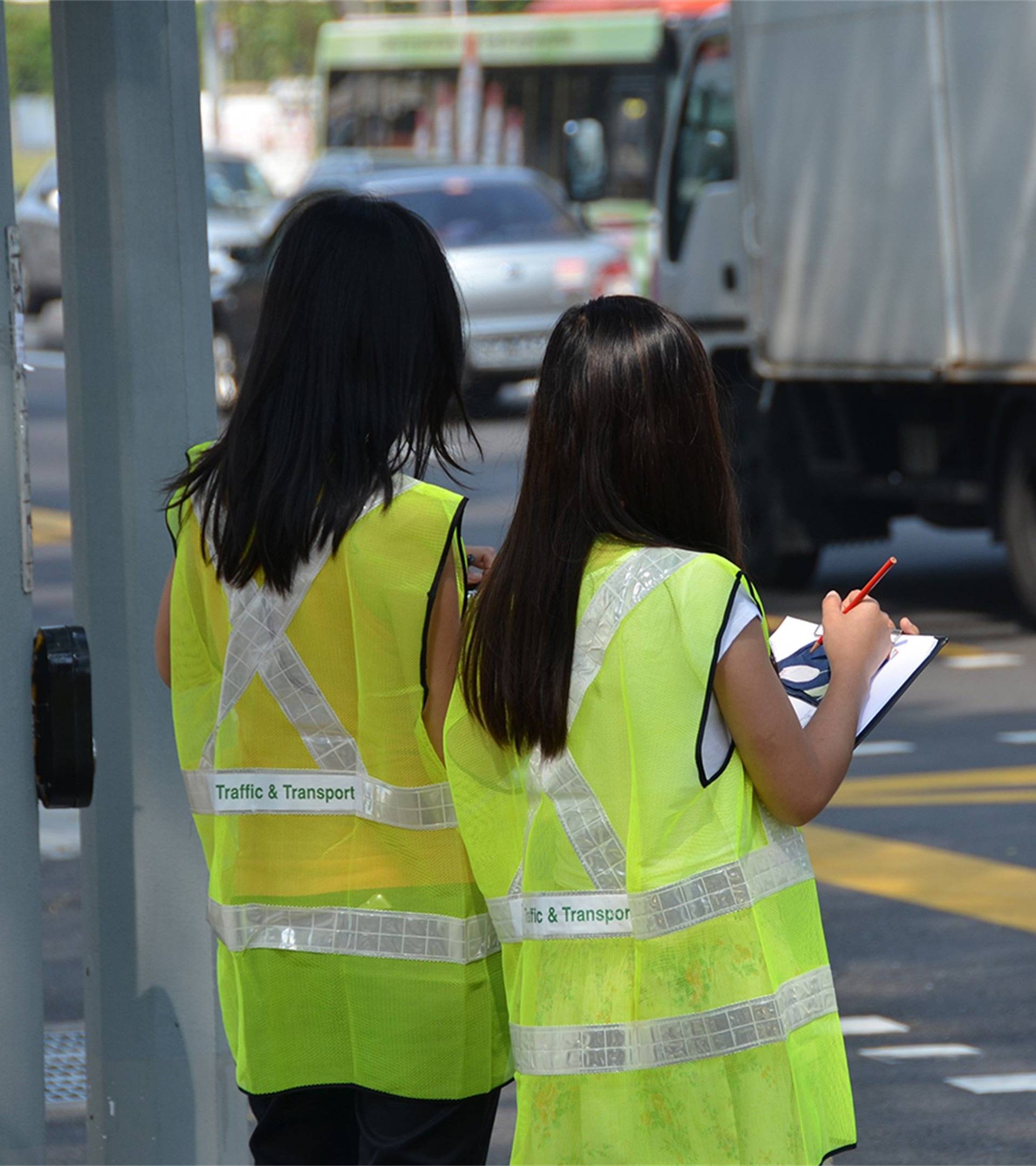
Traditional traffic surveys are expensive, time-consuming and often dangerous. Surveyors work in hazardous locations like interchanges or roundabouts, where adverse weather and human error can further complicate data collection. Accessibility is another challenge, as many sites lack safe vantage points.
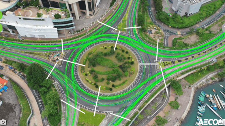
For example, gathering an origin-destination matrix at a four-arm, two-lane roundabout might require 16 surveyors stationed at each entry and exit point. The process involves counting vehicles, recording license plates and manually entering data, making it both labor-intensive and error-prone. Drones offer a safer, more efficient alternative, reducing workforce demands and minimizing errors.

A smarter solution: drones combined with AI video analytics
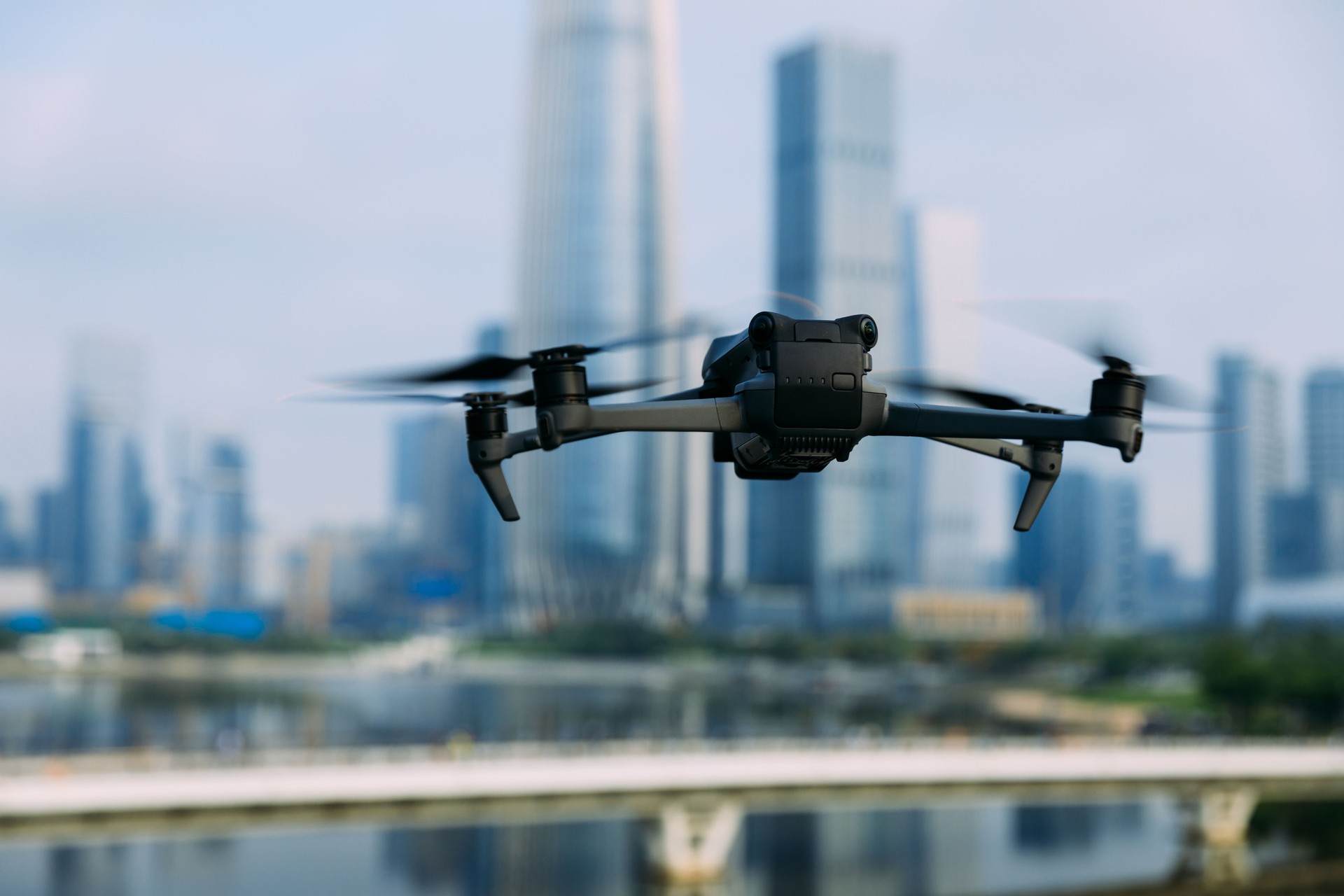
Drones have long been used in traffic surveillance, but their true potential emerges when integrated with AI video analytics. This powerful combination automates data collection, enhances accuracy and generates actionable insights.
Unlike fixed cameras, drones offer unparalleled flexibility and elevation, capturing high-resolution footage over wide areas, including complex environments like interchanges and roundabouts. They also improve safety by allowing operators to monitor traffic remotely from secure locations.
While drones collect raw data, AI video analytics transforms it into meaningful information, enabling tasks such as:
- Classifying vehicles accurately
- Detecting traffic patterns and trends
- Identifying illegal movements or behaviors
A two-hour drone survey can generate comprehensive footage, which AI then analyzes to map vehicle trajectories, assess queue patterns and highlight key scenarios, such as buses exiting laybys.
Innovating traffic surveillance in Hong Kong
We are pioneering the use of drone and AI technologies to transform traffic monitoring in Hong Kong, completing over ten survey projects with major gains in safety, efficiency and accuracy. AI-driven analysis has boosted vehicle movement capture rates to over 99%, far surpassing manual methods. Each vehicle is assigned a unique AI-generated ID, enabling precise tracking of speed and classification. To suit local conditions, vehicles are classified into three simplified categories: motorcycles, small vehicles and large vehicles, improving identification accuracy.
In one project, drone footage uncovered previously undetected illegal maneuvers at interchanges, offering insights for better road design. Additionally, origin-destination matrices are now produced more quickly and reliably, supporting faster, data-driven traffic management decisions.

Integrated applications and new possibilities
Drones and AI video analytics are transforming urban management beyond traditional traffic surveys. We're also using this technology for:
- Traffic congestion monitoring
- Construction site inspections
- Emergency response
- Structural and bridge inspections
- Surface modeling for critical site reconstructions
Cities worldwide are also leveraging AI video analytics in innovative ways. For example, Vienna uses video analytics to monitor vehicles entering restricted areas, while Melbourne applies AI video analytics to existing CCTV cameras to detect incidents and queues, providing practical solutions for smarter urban systems.
Beyond enhancing safety, these technologies also help reduce congestion, lowering emissions and improving air quality. While advancements like electric and hydrogen-powered vehicles tackle emissions at the source, reducing traffic brings immediate environmental benefits.
The economic benefits of smart traffic management systems, which combine technologies such as AI and machine learning with hardware such as cameras and sensors, have been demonstrated across multiple cities. A study on Hong Kong’s implementation of machine learning-based traffic optimization found a net present value (NPV) of US$150 million over ten years, with a cost-benefit ratio of 3:1, indicating that for every dollar spent, the system returns three dollars in economic benefits such as decreased travel time, reduced fuel consumption and lower emissions.
Similarly, smart traffic management measures in New York City were estimated to result in a US$200 million NPV. These findings highlight how AI-driven traffic solutions not only enhance mobility but also deliver strong financial returns, making them a compelling investment for sustainable urban development.
Challenges and limitations: refining the technology
By combining drones with AI video analytics, urban planners can identify congestion hotspots, optimize traffic flow and design adaptive infrastructure to create safer, more efficient and sustainable cities. Despite these advantages, certain challenges must be addressed to maximize the potential of these technologies:
- Airspace limitations: regulations restrict drone use near airports, tunnels and sensitive areas, requiring coordination with authorities and adherence to protocols.
- Vehicle classification: unique vehicle types, like minibuses and double-decker buses in Hong Kong, need AI refinements for better accuracy.
- Traceability: tracking continuity may be disrupted when vehicles cross flyovers and are assigned new IDs, requiring improved AI algorithms.
- Environmental factors: shadows and tree cover can interfere with tracking, necessitating AI adjustments to local conditions.
- Data privacy: collecting useful data must be balanced with individual rights, ensuring safeguards against misuse while enabling effective identification of violations.
- Technological refinements: AI analytics, while accurate, still require ongoing improvements to handle unique regional vehicle types and reduce misclassifications.
The way forward: localized AI and integrated solutions
Looking ahead, we're focusing on developing custom-trained AI models tailored to local traffic conditions. These models aim to improve vehicle classification, enhance traceability and reduce the need for manual input. While enhancing operational efficiency, a future possibility is the development of centralized platforms that could support regional customization, allowing seamless adaptation to unique project needs worldwide. By reducing reliance on third-party tools, such a strategy could increase autonomy, efficiency and scalability.
This forward-thinking approach positions drones and AI as essential tools for modern urban planning, empowering cities to overcome current challenges while anticipating future demands. By optimizing traffic flow, reducing congestion and supporting data-driven decision-making, these technologies offer practical solutions for sustainable urban development, creating environments that are not only efficient and adaptive but also resilient and future-ready.